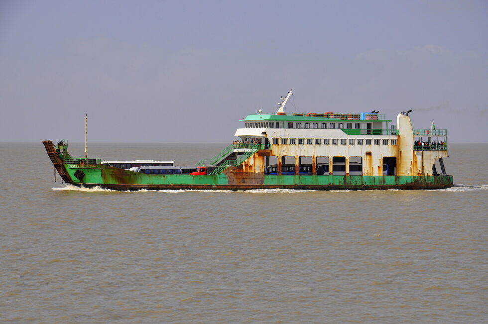
Before the city woke up completely, I did and went straight to the ferry, which would take me from São Luis to the other side of the quite big bay. This would save me to drive back the 100 km on the bad road, maybe even worse, as it was Monday morning and business definitely would come back to normal, whatever that means.
Please click on “View Album” to see pictures in a Google+ Album.
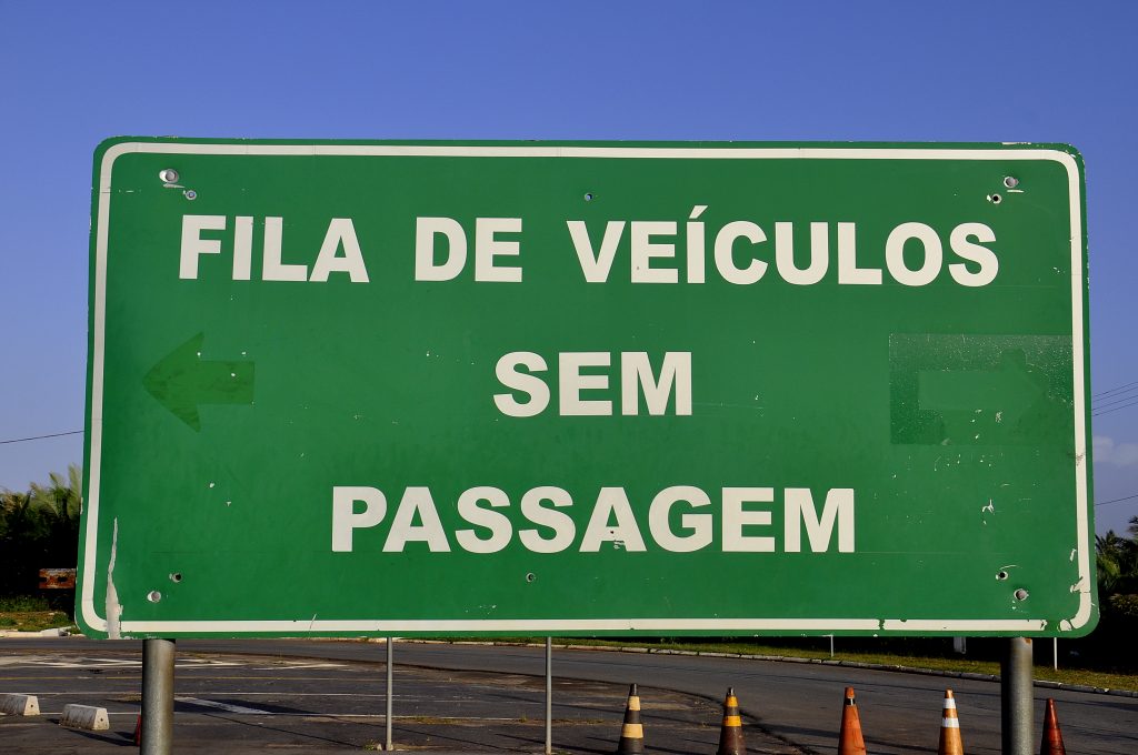
I missed the first ferry as I did not have a ticket in my hands. The two cars in front of me though made it. Not the truck and me. I had to wait for another hour for the next ferry and still had to cross fingers to make it, as it was Monday morning and business definitely would come back to normal, whatever that means.
I noticed the change in humidity now. The body had always a slightly moisty film on the skin and also the sky and horizon was hazy and not clear anymore. The typical ferry drive took about 2 hours in an old ferry. Old in two ways, both old in itself, speaking of the age of the ferry but also old in model, comparing to ferries in more advanced countries.
On arrival we had to wait quite a bit for the leaving ferry to actually complete boarding and leave. Done. The asphalted road started and all cars together leaving did actually not create a queue and I could drive on my speed towards Belem. Soon I realized that today’s travel would require my full attention and concentration, as the road was full of holes and I mean deep holes that could easily damage or immediately flatten your tire.
Coming in to one of the smaller villages, I saw at the entrance a big crowd standing on the bridge and by the lake, watching towards a diver and several search boats from the rescue department. It looked unfortunately like someone drowned and I was hoping that this someone was not a small child. It was sad, I was sad and I was thinking of my baby Matilda, knowing that she still cannot swim and … no I did not really wanted that thought in my head.
I wanted to get as close to Belem as possible and drove up to late afternoon but avoiding to get too close to sunset. I always like to identify a location for Wifi, which requested a business still to be open and the place to park the car for the night. I decided for Santa Luzia, as time, distance driven and distance to Belem were within the parameters. Small village in the subtropical inland of the Amazon region.
Please click on “View Album” to see pictures in a Google+ Album.
I noticed the change in the climate, the temperature, as well as in the architecture and other small things. The basic or poor way of building in the desert of the northeast is with yellow mud and small wood sticks for support. This had changed now to the pure use of wood. This was more than logic to me that you would use the cheapest material accessible in the surroundings.
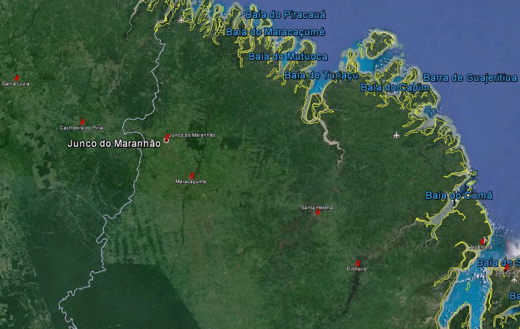
For a small understanding of the days travel, I have included a Google Earth map. The red pins mark the locations I have stopped and taken pictures. At the bottom of the page you will find a link for all the pictures I have taken. The link will open in a Google+ Album.
Please click on map to enlarge!!!
See map and distances / Siehe Karte und Entfernungen / Ver mapa e distâncias / Ver mapa y distancias
0 km São Luis
25,0 km Alcantara
100,0 km Pinheiros
145,0 km Santa Helena
225,0 km Maracaçume
255,0 km Junco do Maranhao
305,0 km Cachoeira do Piria
350,0 km Santa Luzia
Please click on “View Album” to see pictures in a Google+ Album.


