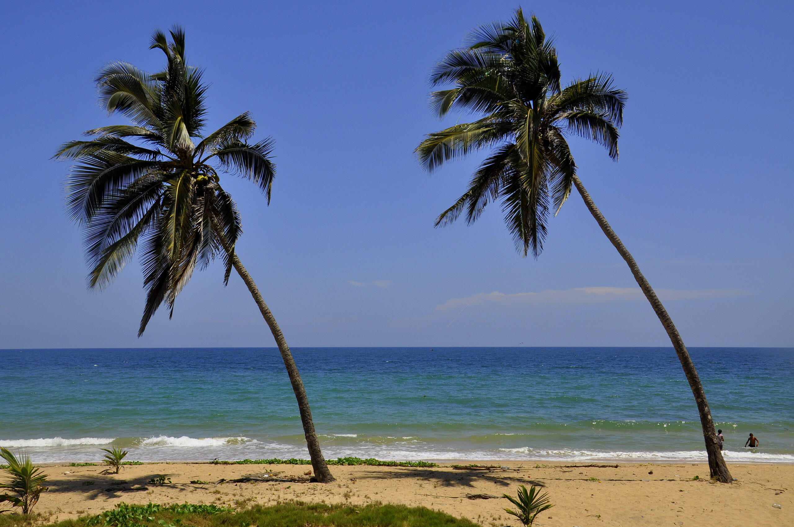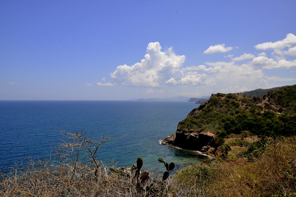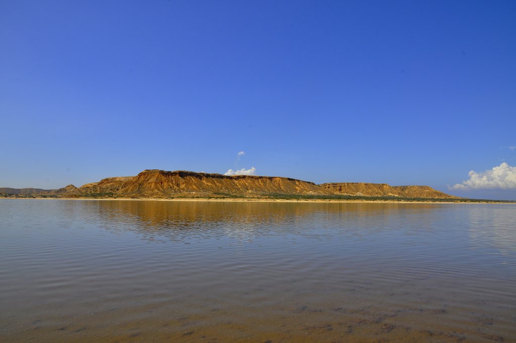
After the second night at the delegacy I woke up and continued with my planned route and had to go back on the same road I had come. I had to pass the same three military controls only this time on a Sunday morning I passed them all. I was curious about the drive to Araya. According to Google Maps the nature would change rapidly and dramatically. I could not really believe this kind of change within such a short time and distance but the rainforest disappeared, then even the savannah and then I was in the desert with no vegetation at all.
The type of beach changed accordingly from the tropical palm treed beach to a desert sand beach. Each had its fascination and I do not want to judge on them, I had no preference and rather enjoyed them both and actually within the same day. Due to the geography, which was almost flat the road was closer to the beach on the desert side than on the rainforest side and around every corner a new beach appeared. Due to the dry and arid nature there was very little population, which on top of the fascination of the nature made the area even more spectacular. I stopped several times and needed to absorb this fascination with all my senses.
I reached the village of Chacopata which made it on the list only due to the fact that the distance to the island of Margarita was the shortest and a ferry service only for passengers available. The last ferry on Sunday left at lunch time and there was little to inquire except the parking for the car, which was right opposite the National Guard. It was hot at lunch time and I decided to continue to Araya and visit this part now rather than on the way back from the island of Margarita.
Araya actually had a historical fortress to visit and the local crowd gathering just at the entrance of it as this was the main beach of the town as well. The crowd was not really noisy and the music at a normal level unlike the level I was used to in Natal. The crowd though was pretty drunk and the amount of beer bottles on the beach tables in front of the beach bars could tell and this as well was unlike I was used to in Natal. The military police made a visit with machine guns at the beach and this as well was unlike I was used to in Natal.
Please click on “View Album” to see pictures in a Google+ Album.
I joined the crowd and relaxed a bit on this extreme dry and hot Sunday afternoon. I had already made out my parking for tonight as there were two small hotels close by and some cars were parked outside so that I could just park mine in the same way and hope that this cover would give me enough security for the night. The heat became a problem as it did not cool down significantly and close to midnight I had to go to town to the only snack bar still open to get me a drink.
Please click on “View Album” to see pictures in a Google+ Album.
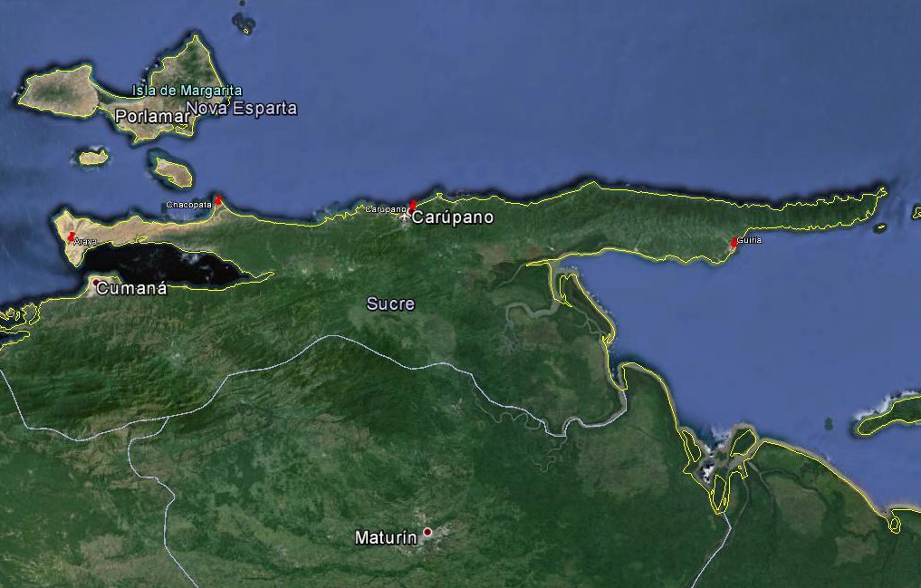
For a small understanding of the days travel, I have included a Google Earth map. The red pins mark the locations I have stopped and taken pictures. At the bottom of the page you will find a link for all the pictures I have taken. The link will open in a Google+ Album.
Please click on map to enlarge!!!
See map and distances / Siehe Karte und Entfernungen / Ver mapa e distâncias / Ver mapa y distancias
0 km Guiria
135 km Carupano
235 km Chacopata
305 km Araya
Please click on “View Album” to see pictures in a Google+ Album.
Araya is a 1959 Venezuelan-French documentary film directed by Margot Benacerraf. It depicts the lives of labourers who extract salt from the sea off the Araya peninsula in Venezuela. Their method for extracting salt, virtually unchanged for centuries, depends on gruelling physical labor, but provides a dependable, if meagre, living for the men and their families.
On arriving at the arid and barren landscape of the Araya pensinsula on the north coast of Venezuela Benacerraf remarked it was like “arriving on the moon”. Although colour photography was available, the decision was made to shoot in black and white, as it was deemed a more powerful way of portraying the subjects.


