With the agreement between me and the emergency driver in mind I have had a good sleep last night. It was Sunday morning and I had to search the city for a plug to recharge the battery. A lot of the snack stands used to have an electricity extension cord coming from somewhere to supply their small businesses and I was primarily searching for these hidden secret places. I could not find one of these hidden places instead I found 2 plugs above a tiled bench outside a bar which was still closed.
Please click on “View Album” to see pictures in a Google+ Album.
I had searched for more than 1 hour for just 1 plug and suddenly I had 2, a plug for the battery and a plug for the computer. I was not sure if it was worth to continue further up the coast, further north, deeper into the desert but yesterday the 3 Colombians convinced me and recommended strongly to visit Cabo de la Vela.
Please click on “View Album” to see pictures in a Google+ Album.
I went to the main intersection in the center and right the first car stopped, an old Chevrolet. It seemed that the family was on the way to the beach but quickly I realized that this was a private taxi. We drove just 15 minutes to the next beach and dropped the family off; I had a minute to take some pictures but then we immediately left again. I explained the situation, the misunderstanding and we had an understanding; no bad feelings.
Please click on “View Album” to see pictures in a Google+ Album.
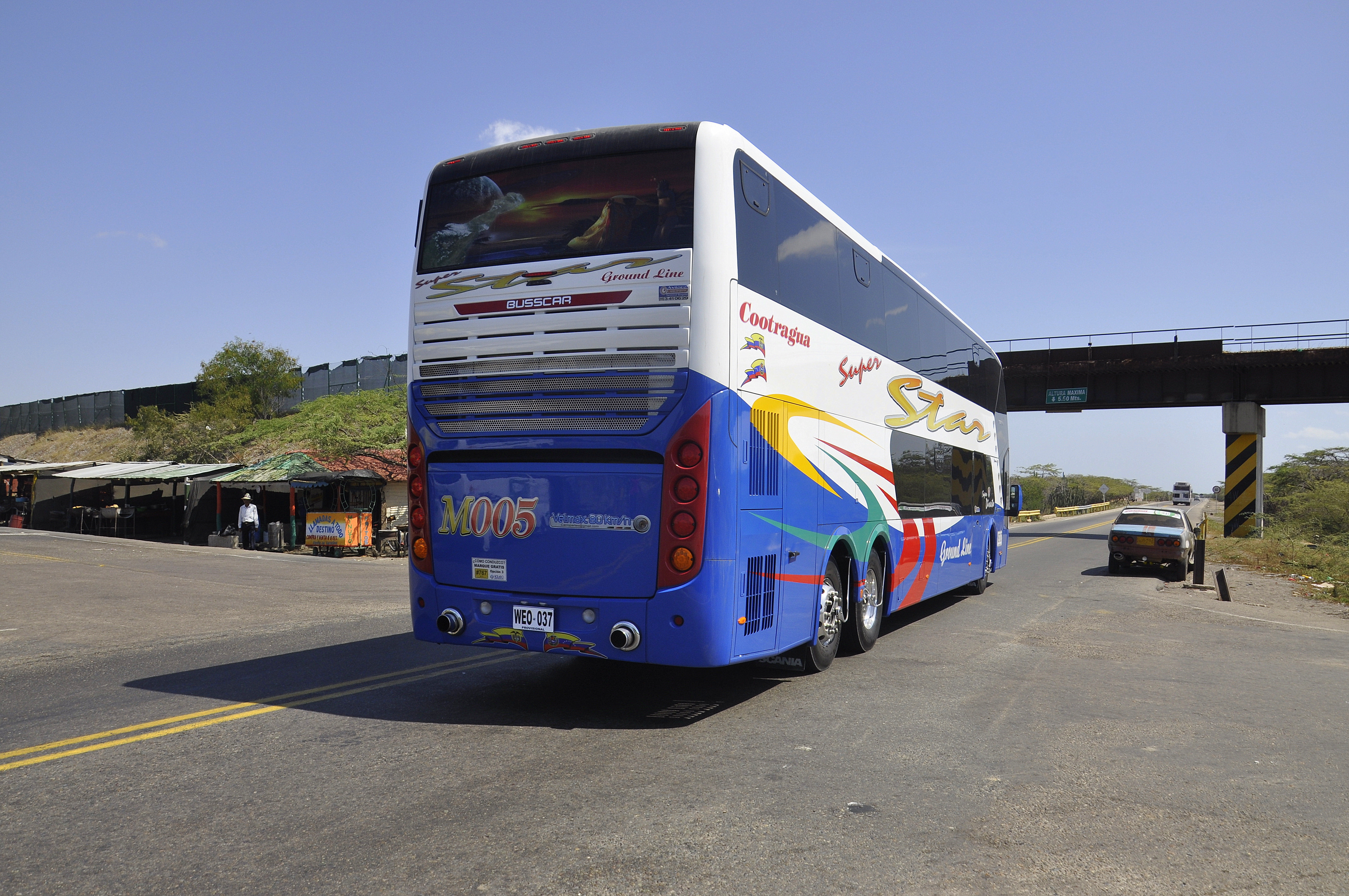
We drove back to the main street and I left the private taxi right next to a police traffic control. The police was extremely, extremely helpful and stopped the next bus, brand new, fully acclimatized and arranged a lift for me to ’Quatro Vias’. ‘Quatro Vias’ in the middle of the desert was not a city; it was the name for the crossroads, the intersection, the distributor to the North-South, East-West traffic.
Please click on “View Album” to see pictures in a Google+ Album.
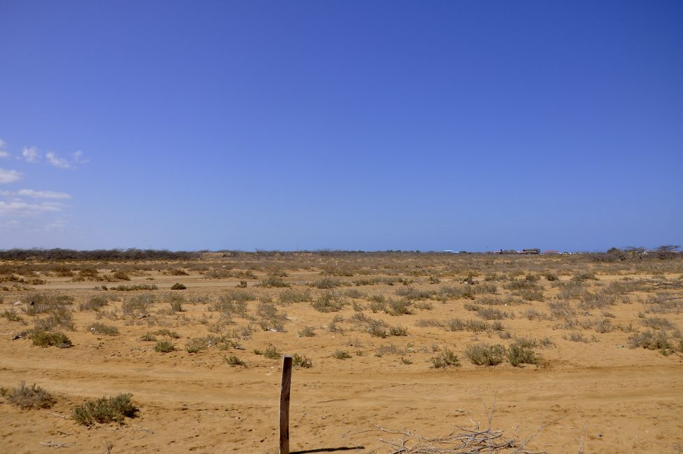
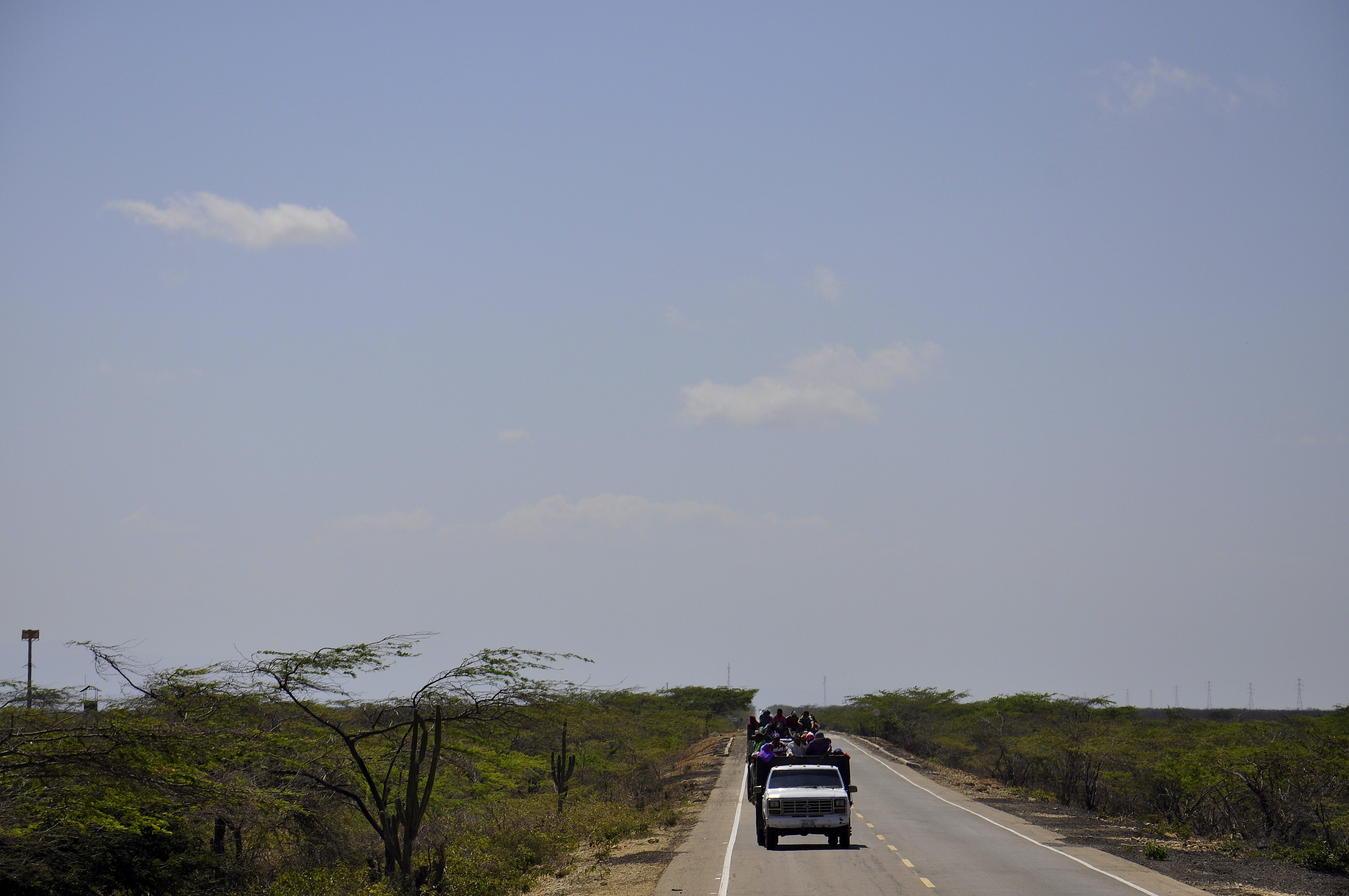
A handful of businesses, a handful of transport intermediators and the crossroads, the chances for a lift were becoming more difficult, maybe no more than 50.000 indigenous were living further north in the desert. The nature was very much like the inland of my home state Rio Grande do Norte in Brazil and I felt very much like in an American road movie. I took every chance, there was definitely no choice anymore and finally a truck offered me to climb up in the back. I needed all my strength to make it up the wooden gate and through the small open space. The drive was extremely bumpy but I was moving. When we reached the village of Uribira it was time for me to get off again and time for the next task, find the next transport.
Please click on “View Album” to see pictures in a Google+ Album.
I had taken only a few pictures but in particular 1 picture of 2 trucks full of indigenous that were right behind us for quite some time. They arrived shortly after we did and had a break. I had time to speak to the driver but without success. Now I had time to speak to the passengers on the truck and they referred me to a lady in the second truck; she wanted to see the Gringo and speak to him.
Please click on “View Album” to see pictures in a Google+ Album.
It was less than a small talk but enough to get me on the truck and sit down next to the miserable bull that was tied to the floor. We left the village and the asphalted road ended; the open truck made its way slowly through the dust. I had my own small wooden desk while the bull had nothing but maybe another few days to live.
Please click on “View Album” to see pictures in a Google+ Album.
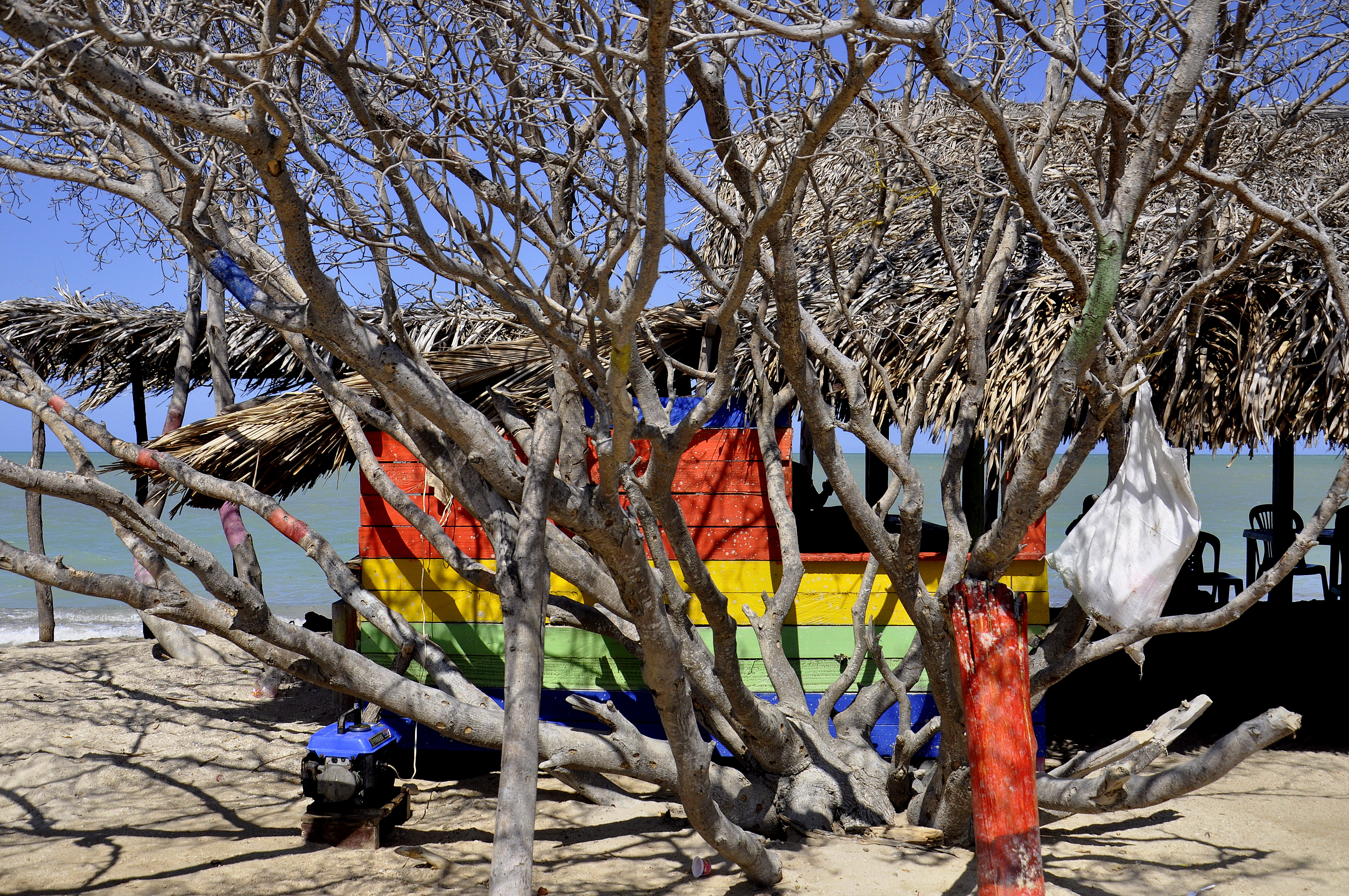
I had to get off at the last intersection before Cabo de la Vela. I sat down next to a backpacker couple in the shade of a small bus station. They had already been waiting for 2 hours and together we waited for another hour. The witnesses of Jehovah in their small van had decided to take us all for the last 20 kilometers through the desert to Cabo de la Vela. They did not ask when we wanted to get off and we did not bother and so we all went passed the village and to the cape and watched the sunset together with the other tourists. We arrived back at the village in darkness and could arranged one of the many huts and tightened our hammocks for the night.
Please click on “View Album” to see pictures in a Google+ Album.
For a small understanding of the days travel, I have included a Google Earth map. The red pins mark the locations I have stopped and taken pictures. At the bottom of the page you will find a link for all the pictures I have taken. The link will open in a Google+ Album.
Please click on map to enlarge!!!
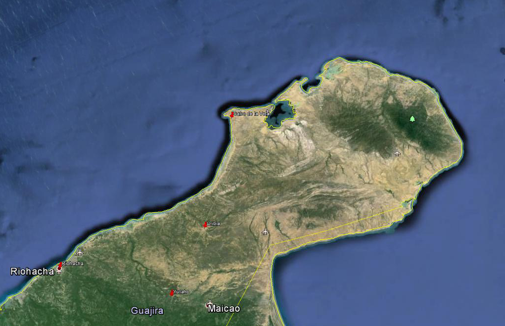
See map and distances / Siehe Karte und Entfernungen / Ver mapa e distâncias / Ver mapa y distancias
0 km Riohacha
55 km Yutaho
95 km Uribia
165 km Cabo de la Vela
Please click on “View Album” to see pictures in a Google+ Album.

Leave a Reply